 Hey guys, Yanni and I are trying to plan the Mammoth trip, and are just wondering if you guys remember the name of the place we stayed at. Also, we were wondering what types of lodges we should get. Please post comments if you have any suggestions. I think Dad mentioned that if you got two large cabins it might be enough, but let us know what you think.
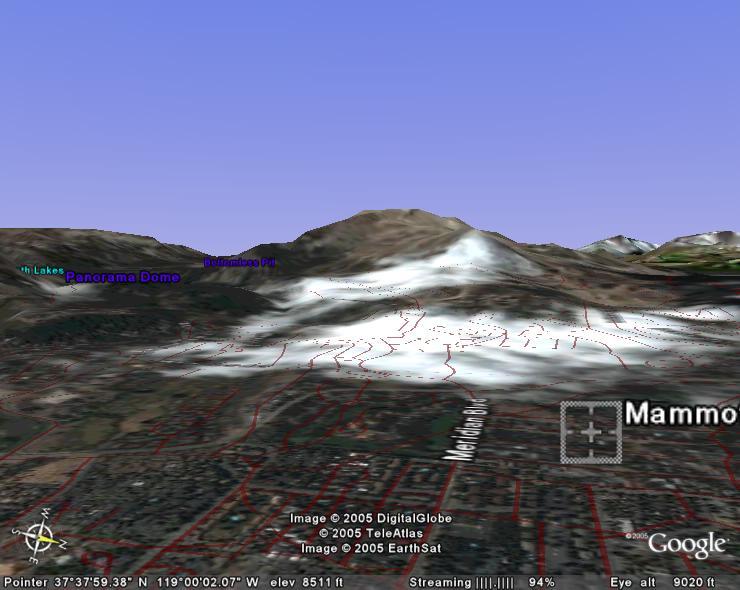
The picture is an image I produced courtesty of google earth. If you guys haven't heard about it, it's pretty incredible. It taks satellite images, fuses it with 3D topographic maps, and allows the user to navigate any where in the world, zooming in and out, rotating and pitching the view. You can also add layers to the map, viewing census statistifcs, school and voting district boundries, streets, past earthquakes, and a whole host of other things. If you have a mac, you'll have to wait a bit to download it though.
No comments:
Post a Comment